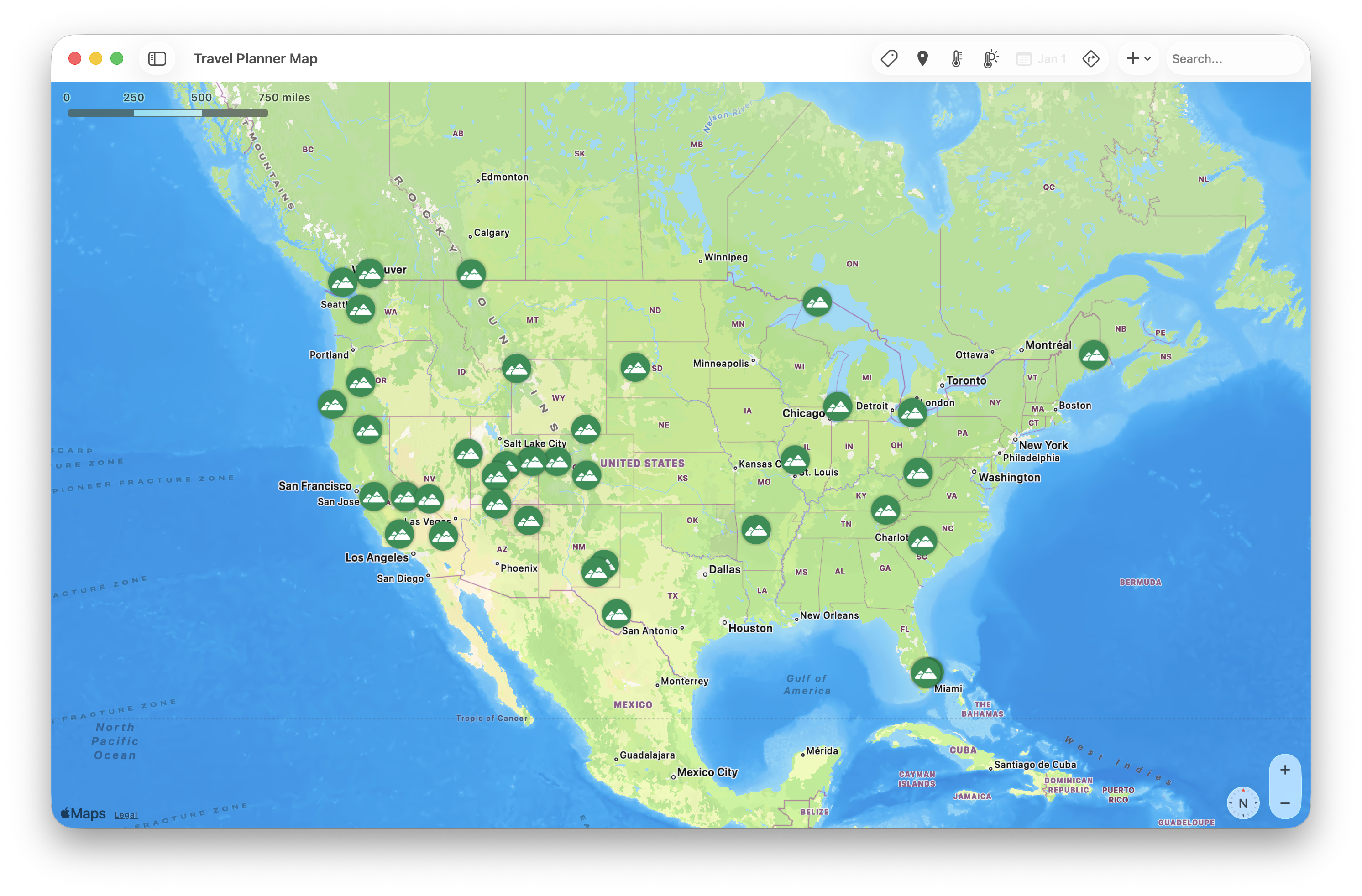
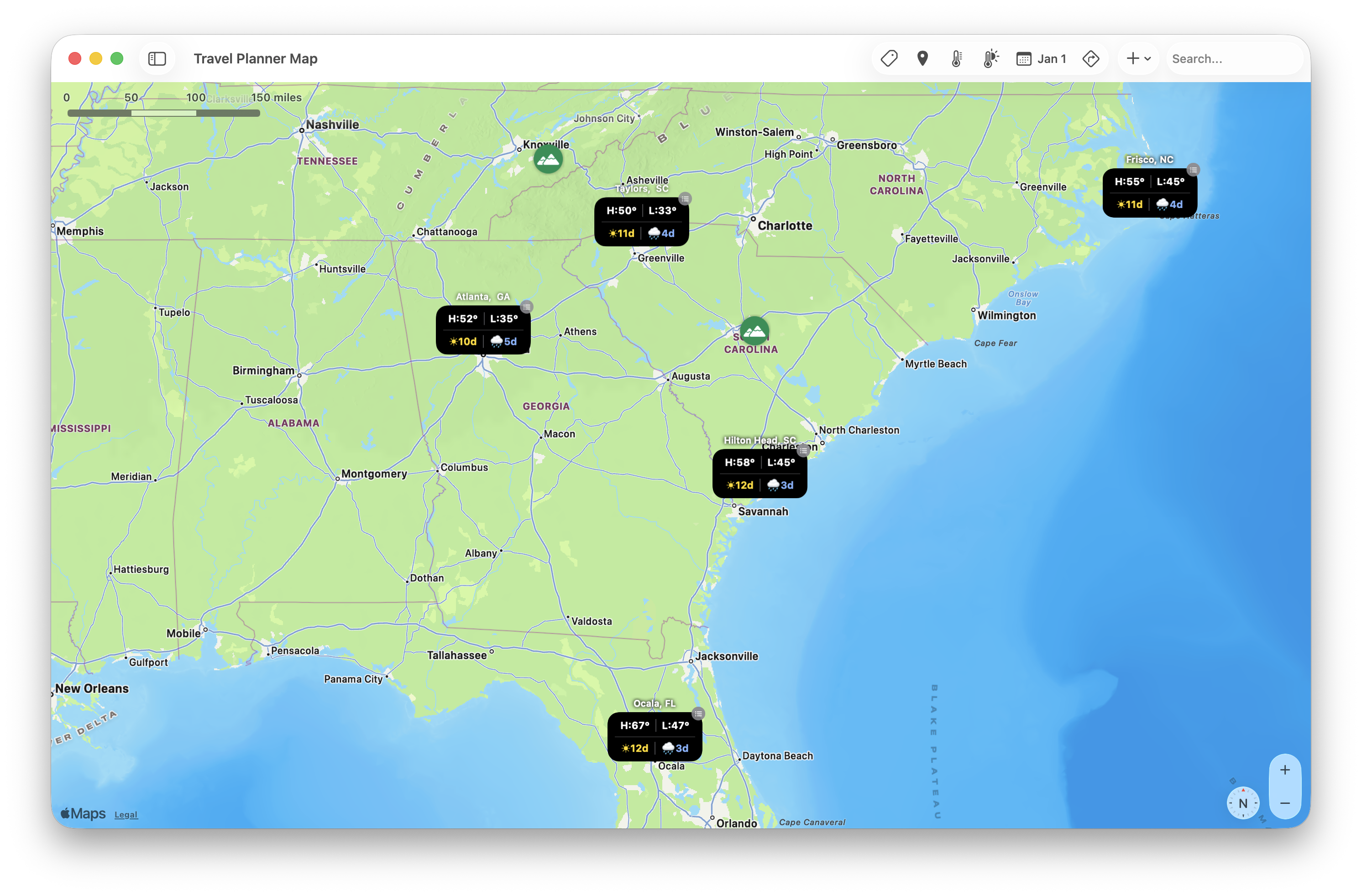
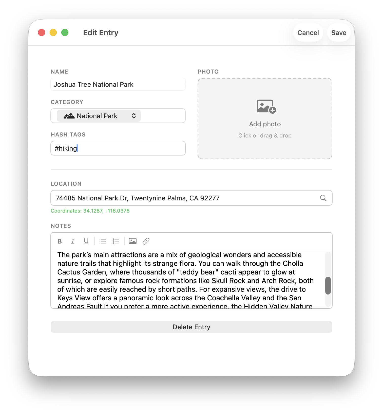
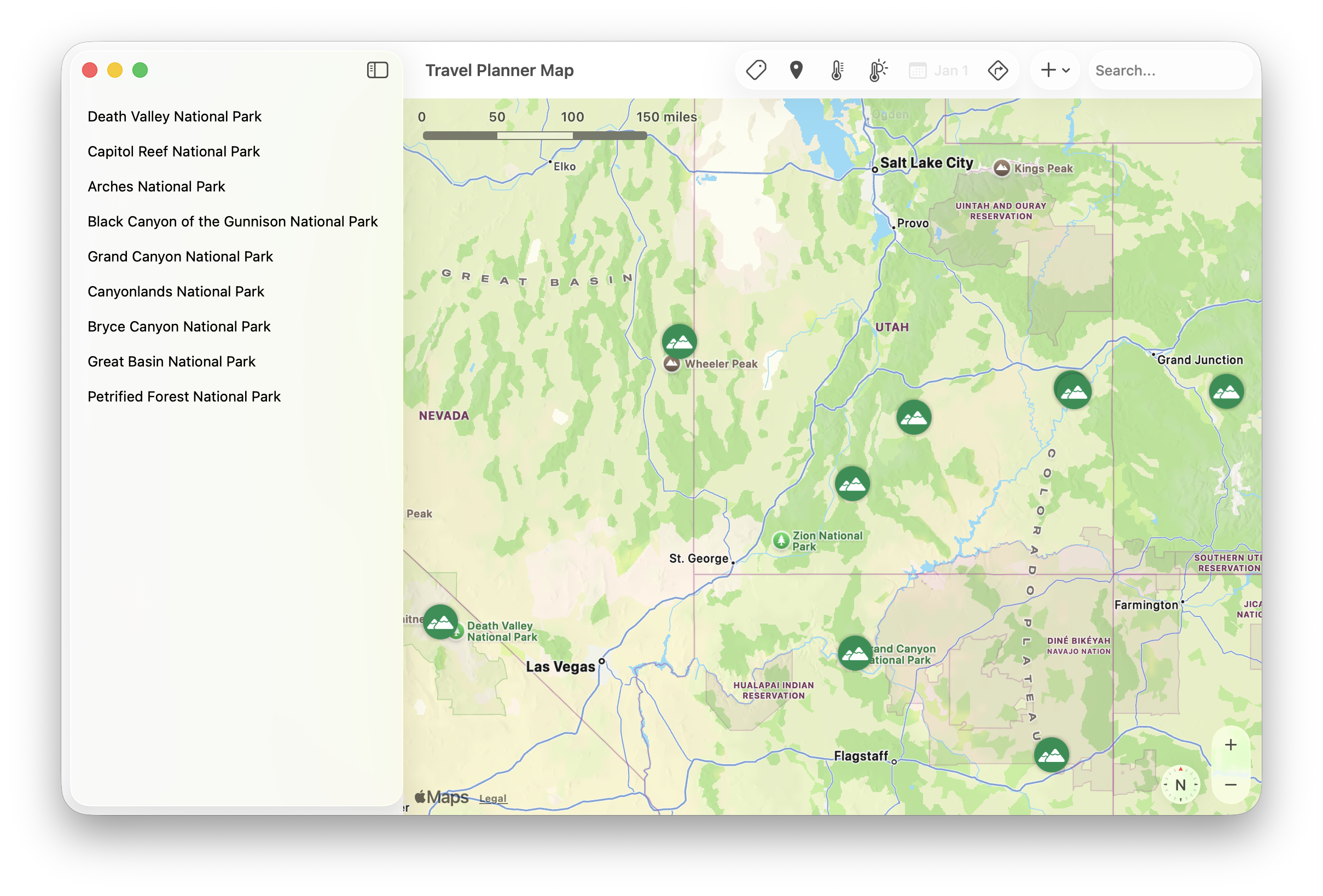
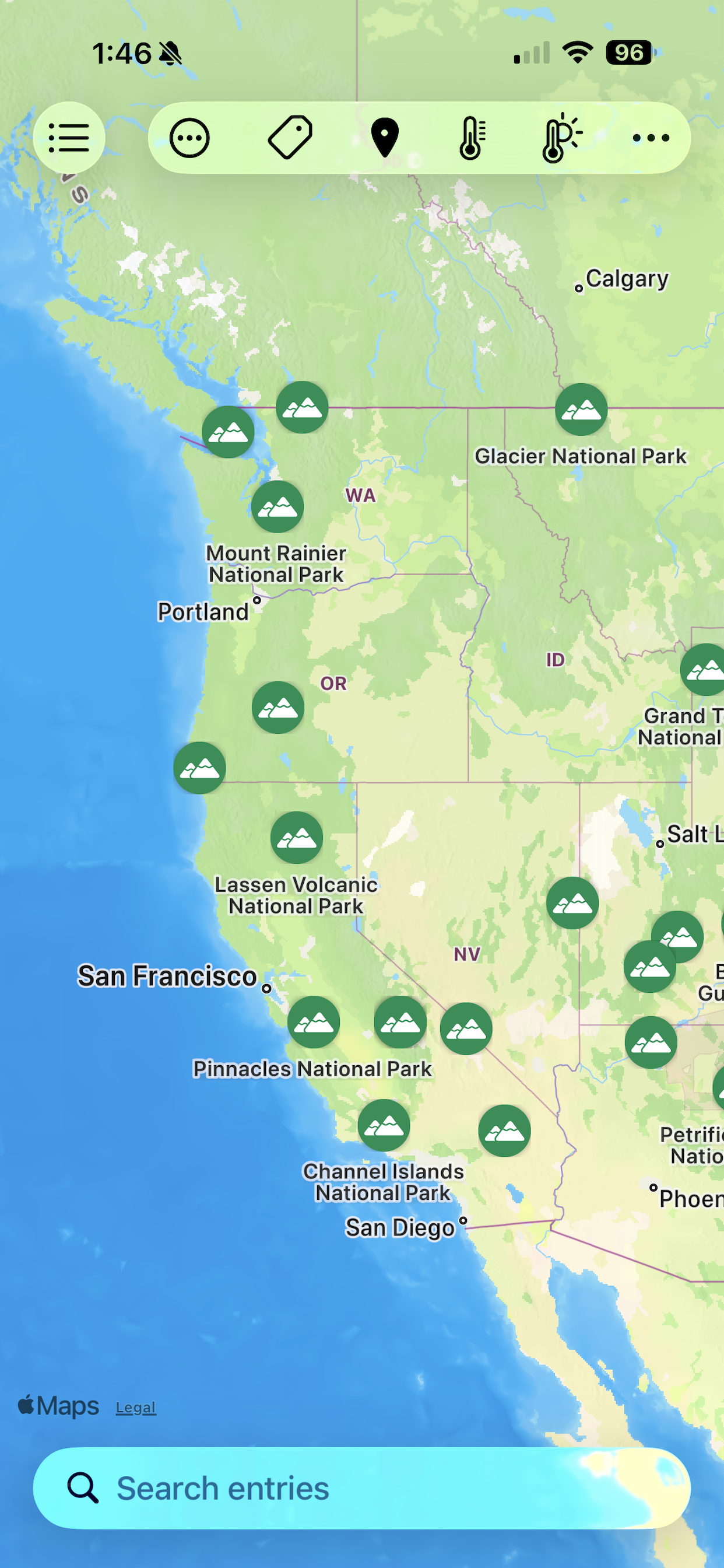
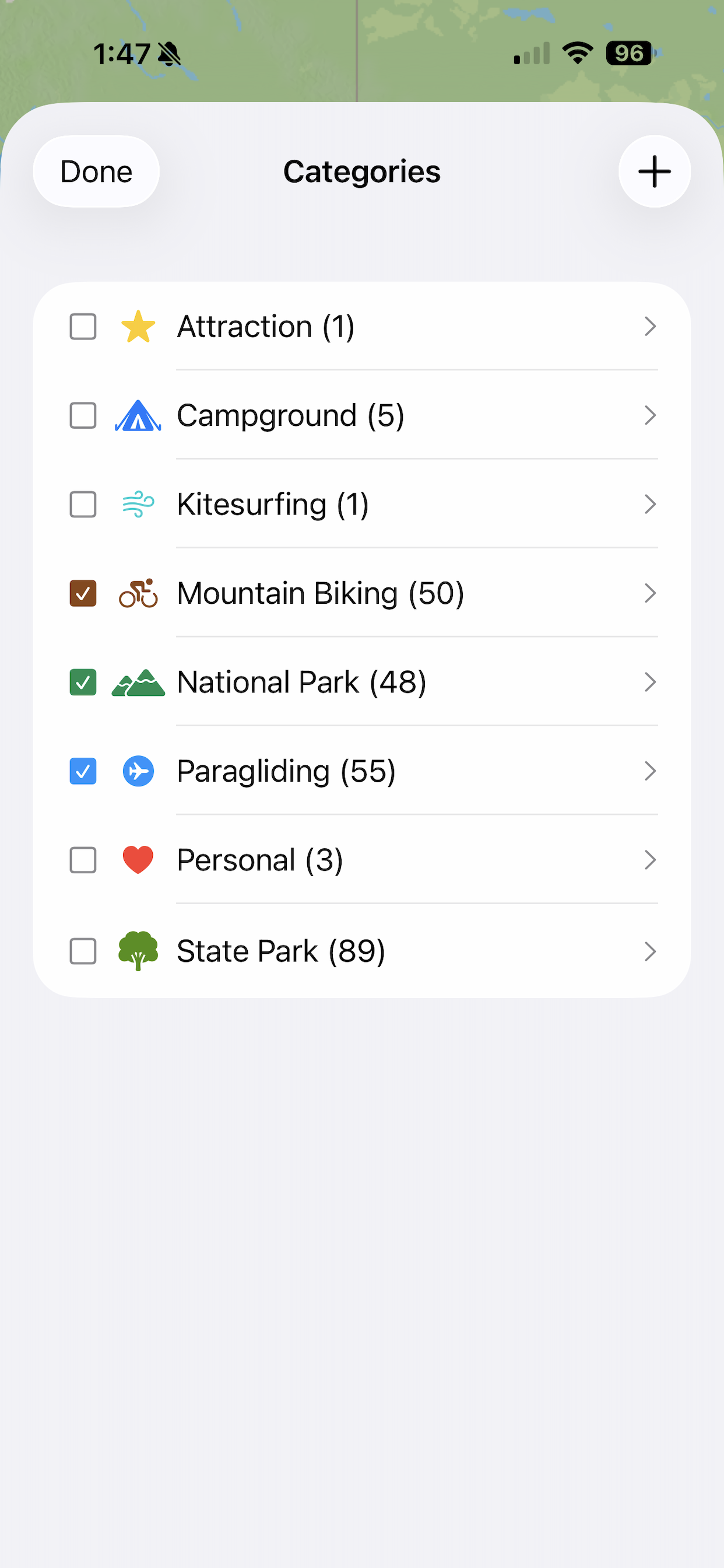
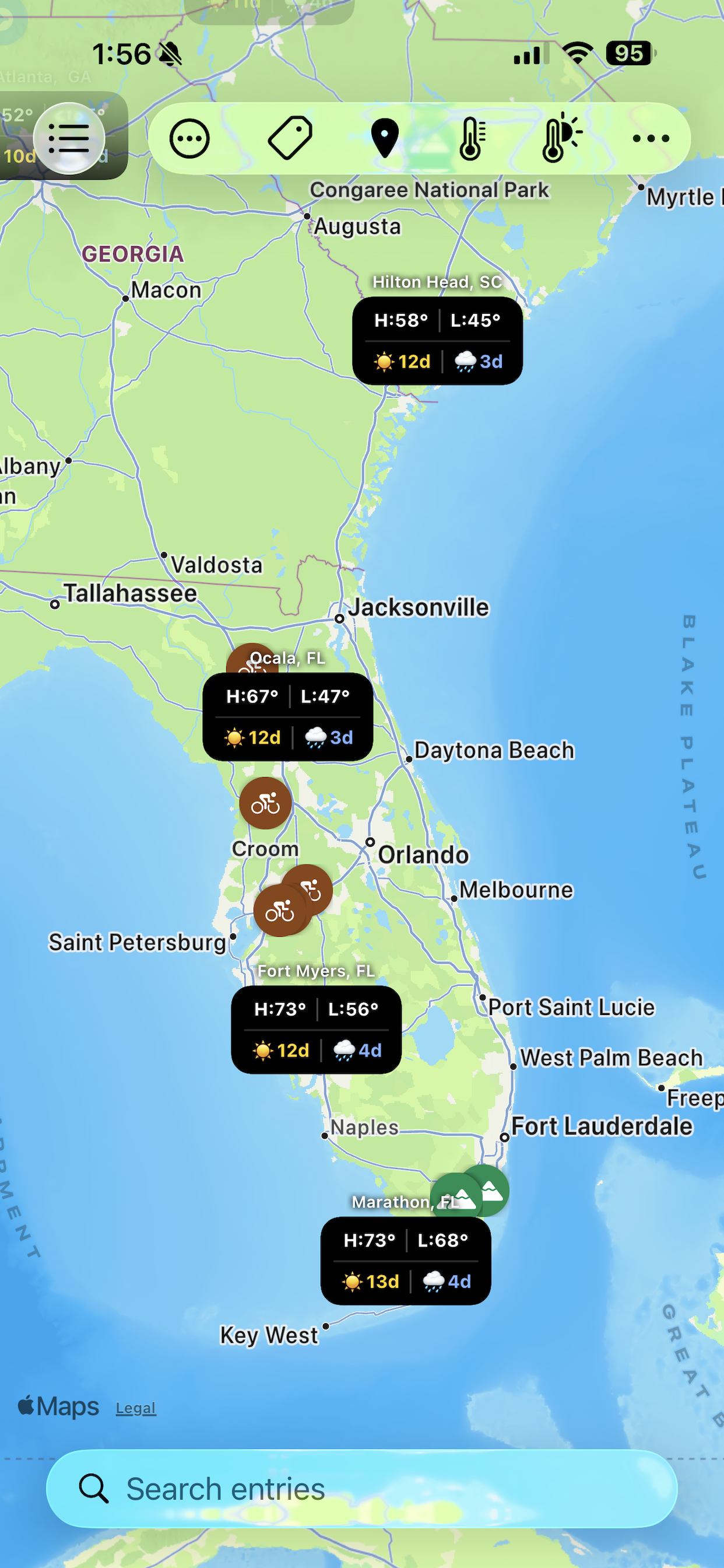
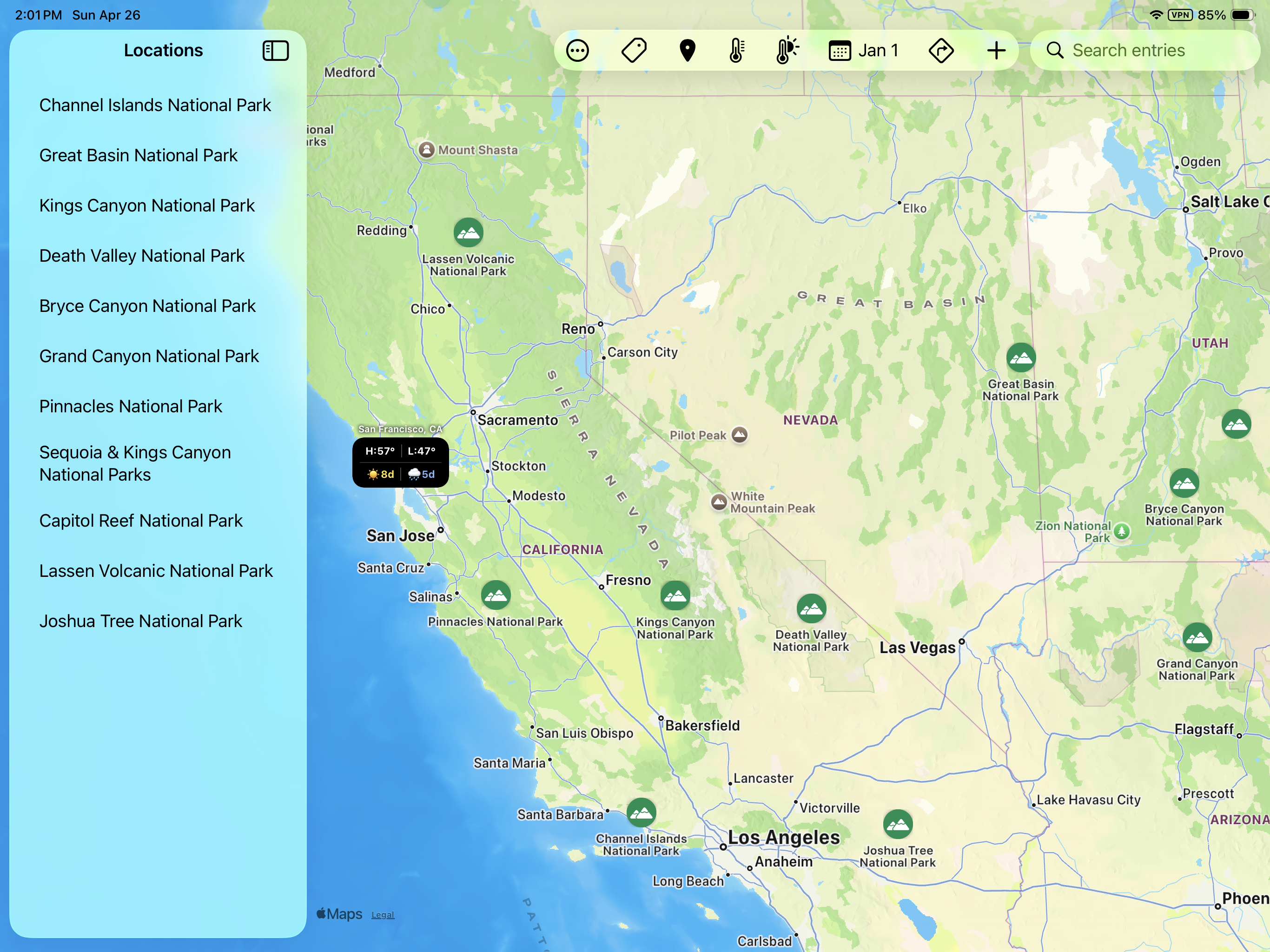
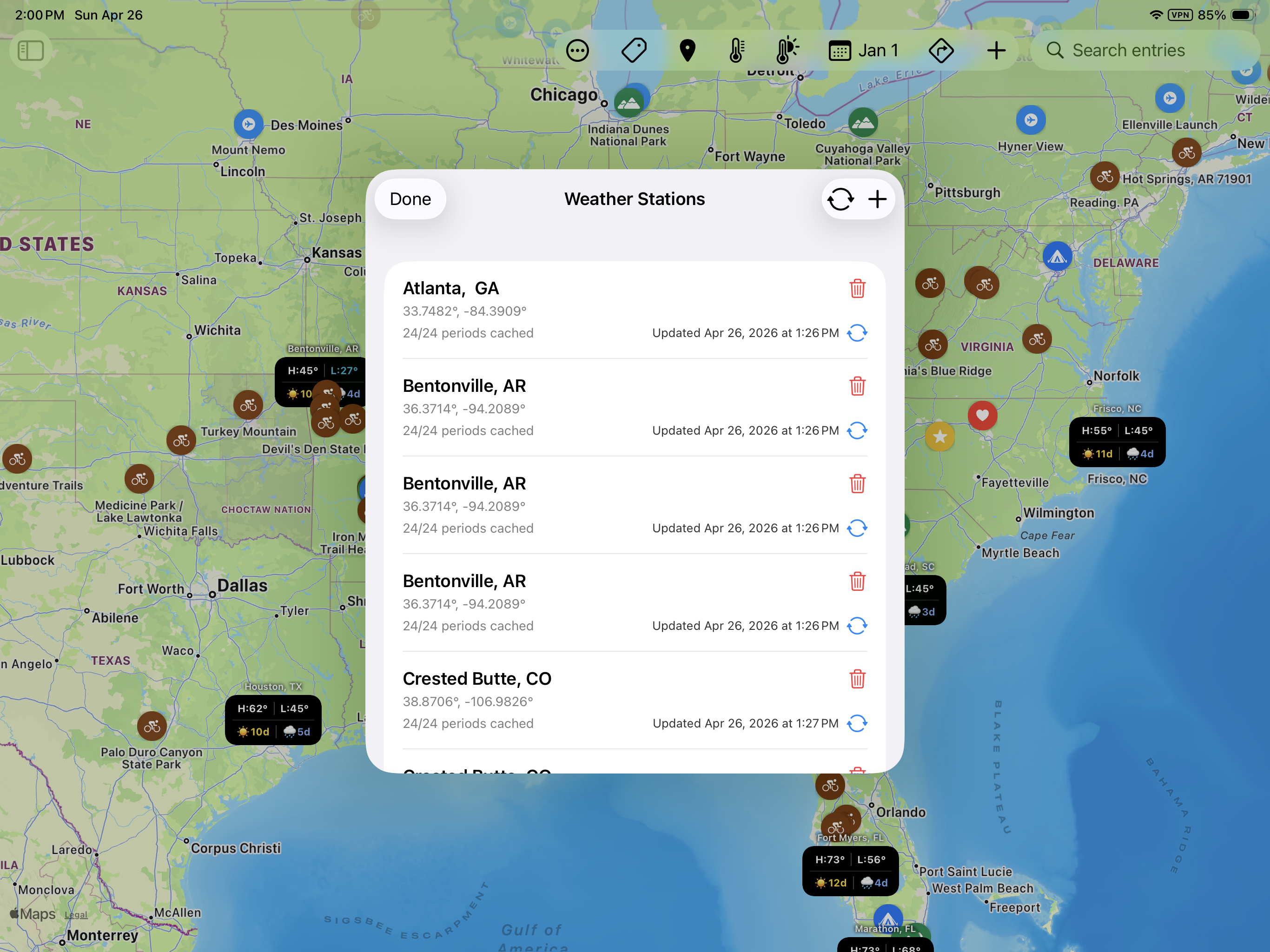
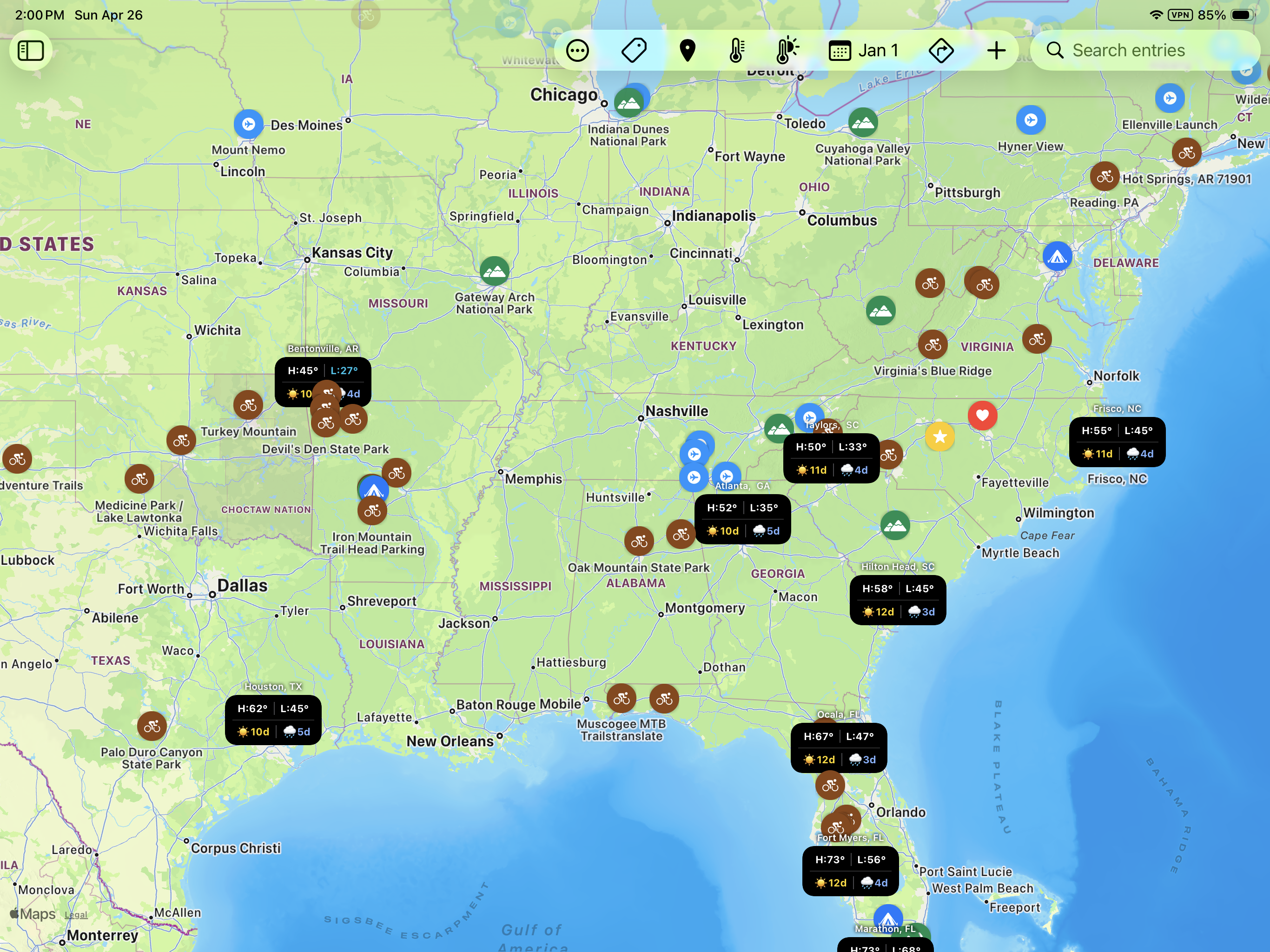
Pin the places you want to explore, layer in historical weather data, and plan your perfect trip. Native on Mac, iPhone, and iPad.
Save places by address or coordinates. Attach photos, rich formatted notes, hash tags, and categories to every pin.
Overlay average temperature highs, lows, sunny days, and rainy days for any two-week window of the year β straight on the map.
Organize pins into categories like National Parks, Campgrounds, or Trails. Show or hide each category with a single tap.
Every location, note, and photo stays in sync across all your Apple devices automatically β no setup required.
Plan a driving or walking route between your saved spots and hand it off to Maps for turn-by-turn navigation.
Find any saved location instantly by name, tag, or keyword. The sidebar filters as you type, right alongside the map.
Travel Planner Map pulls years of historical climate data and displays it directly on the map. Each weather station shows average highs, lows, sunny days, and rainy days for any two-week period of the year β so you can pinpoint the best time to visit every spot on your list.